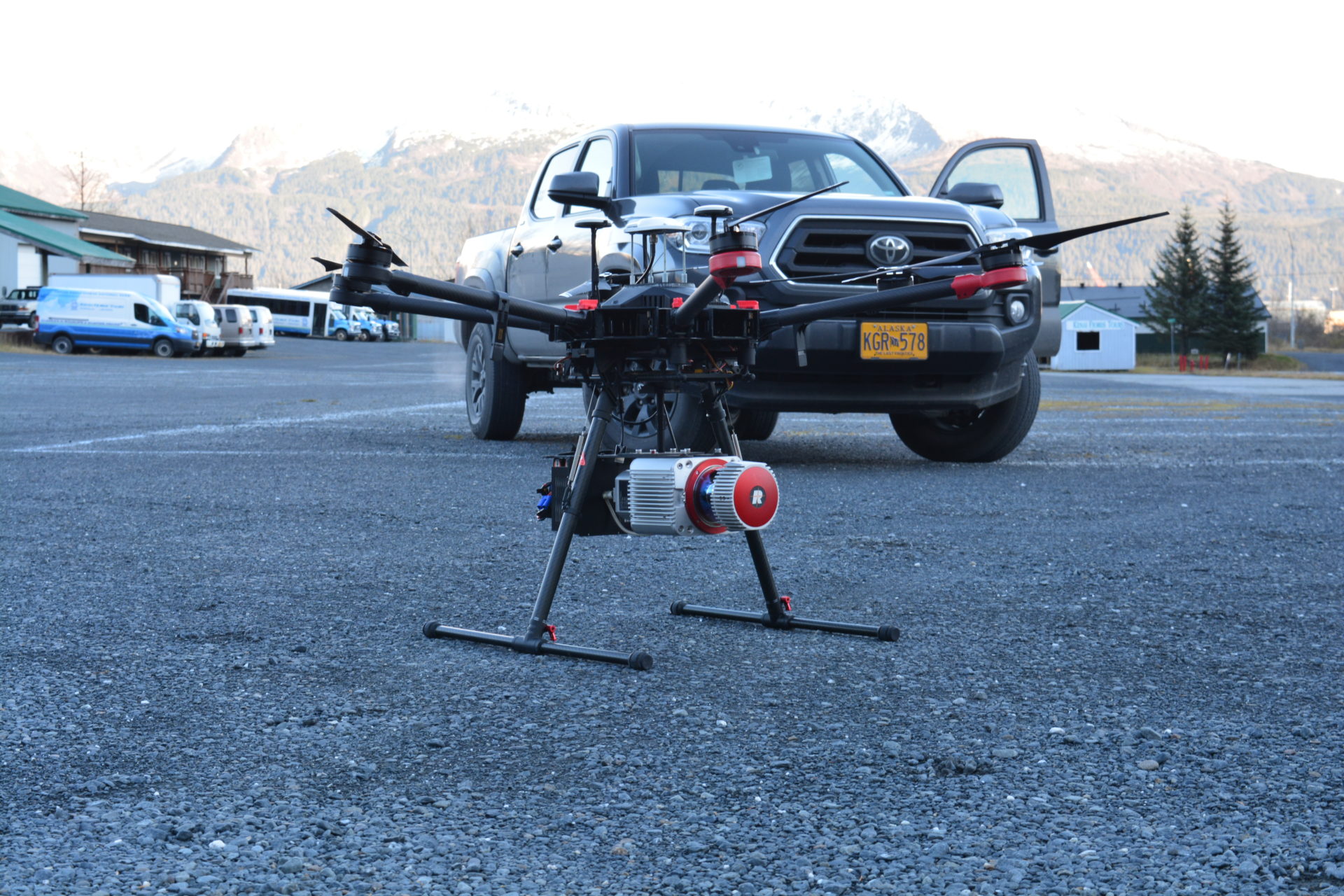
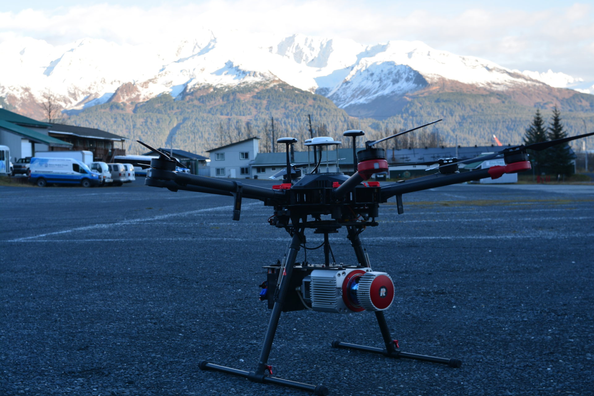
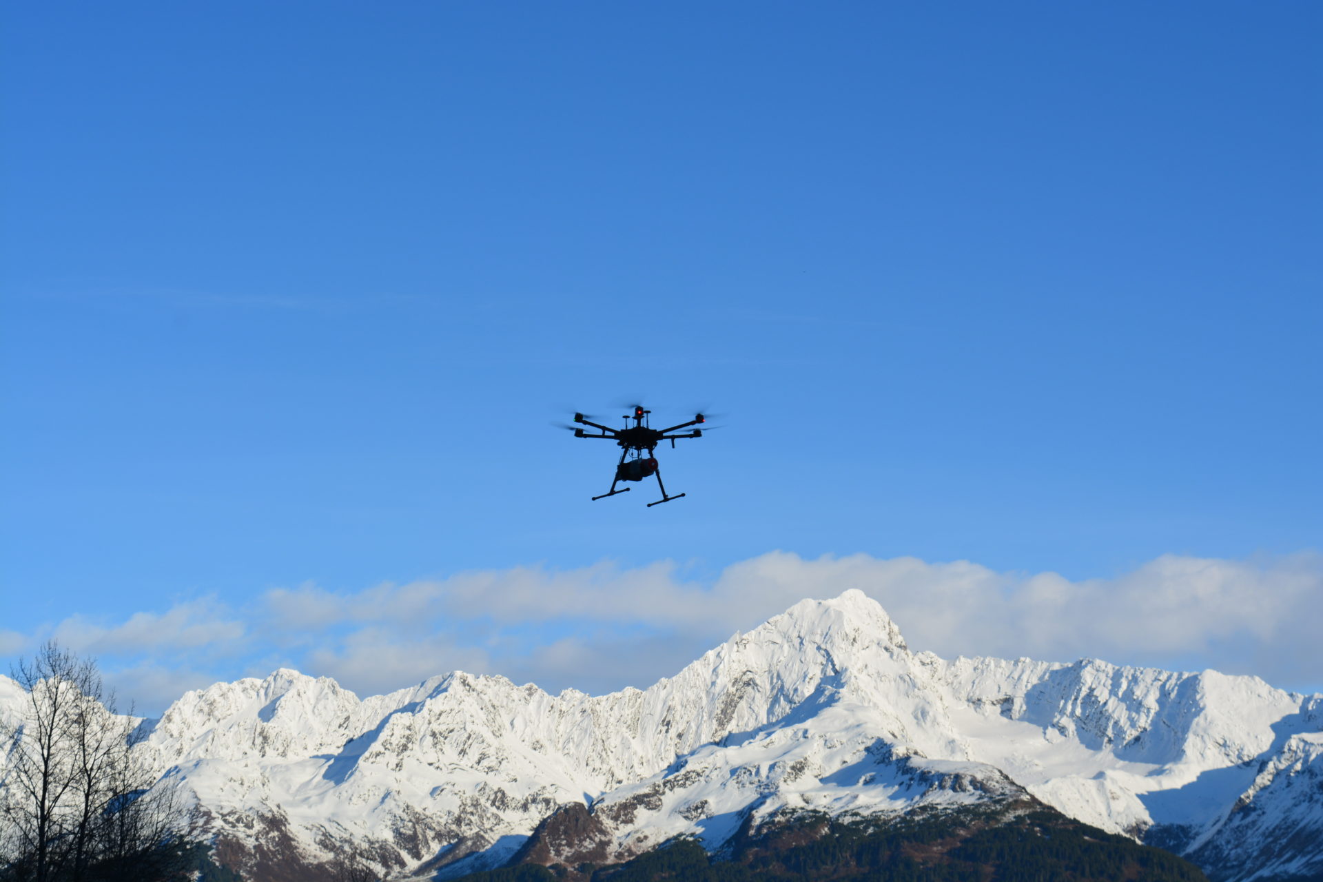
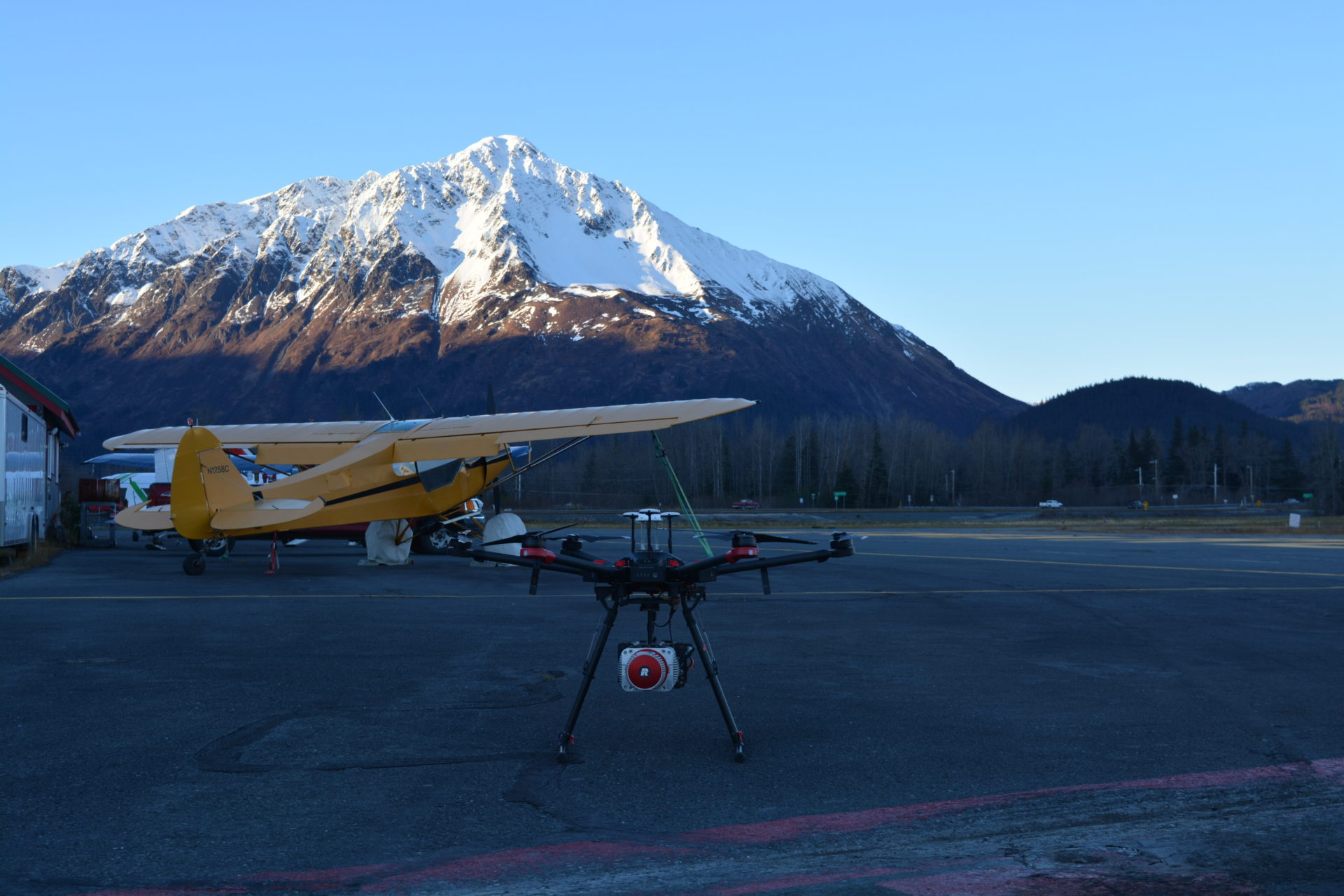
3D LiDAR Scanning
Locally Owned and Operated
What is LiDAR Scanning?
LiDAR (Light Detection and Ranging) is a tool which sends light pulses to the ground and then measures how long it takes for the light to return back to the sensor. By recording the return time, LiDAR can measure distance. That measured distance is then used to calculate a coordinate for the tiny section of the surface hit by the laser beam. In a matter of seconds millions of coordinates are created that can then be rendered in a 3D model.
Advantages of 3D Laser Scanning
- Laser scanners can quickly collect data which reduces the time and resources needed to complete a survey
- Systems can be mounted to vehicles on the ground or in the air to collect data at a faster rate
- Laser scanning can reduce safety risks to employees by allowing them to survey difficult locations from a safe vantage point
- 3D scanners can survey previously inaccessible areas, or vulnerable historic sites
- Detailed 3D models can be created from scanned data
Nebraska Offices
Omaha (402) 572-7225
Oakland (402) 685-6944
Blair (402) 426-9414
Norfolk (402) 371-7571
South Sioux City (402) 494-2122
Tampa, FL Office
(813) 221-2144