Our Services
Alpha Land Surveying is on the cutting edge of surveying
Get a Quote For Your Project
3D LiDAR Scanning
Our scanner is on site and ready to take on your project!
Our Riegl LiDAR Scanner is an aerial mounted system that can scan your site in minutes and produce a precise, accurate 3D model. This equipment has many applications beyond simply creating maps!

Aerial Photogrammetry
Our state of the art DJI Phantom 4 Pro captures data from above allowing Alpha Land Surveying to create 2D Orthomosaic maps, 3D Orthomosaic maps, and 3D models with ease and precision. The DJI Phantom 4 Pro provides access to challenging terrains and has a variety of applications beyond topographical data, such as checking construction progress and providing critical data that goes hand in hand with Building Information Modeling (BIM)
Surveys
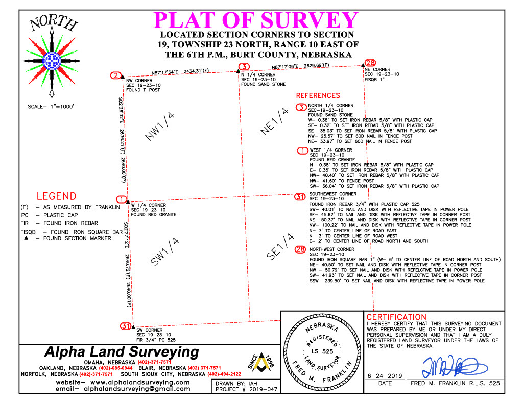
Acreages, Rural Areas
A land survey is a drawing that shows exactly where the boundaries of a property are. A survey will also lay out the dimensions and location of any buildings or other site improvements on the property.
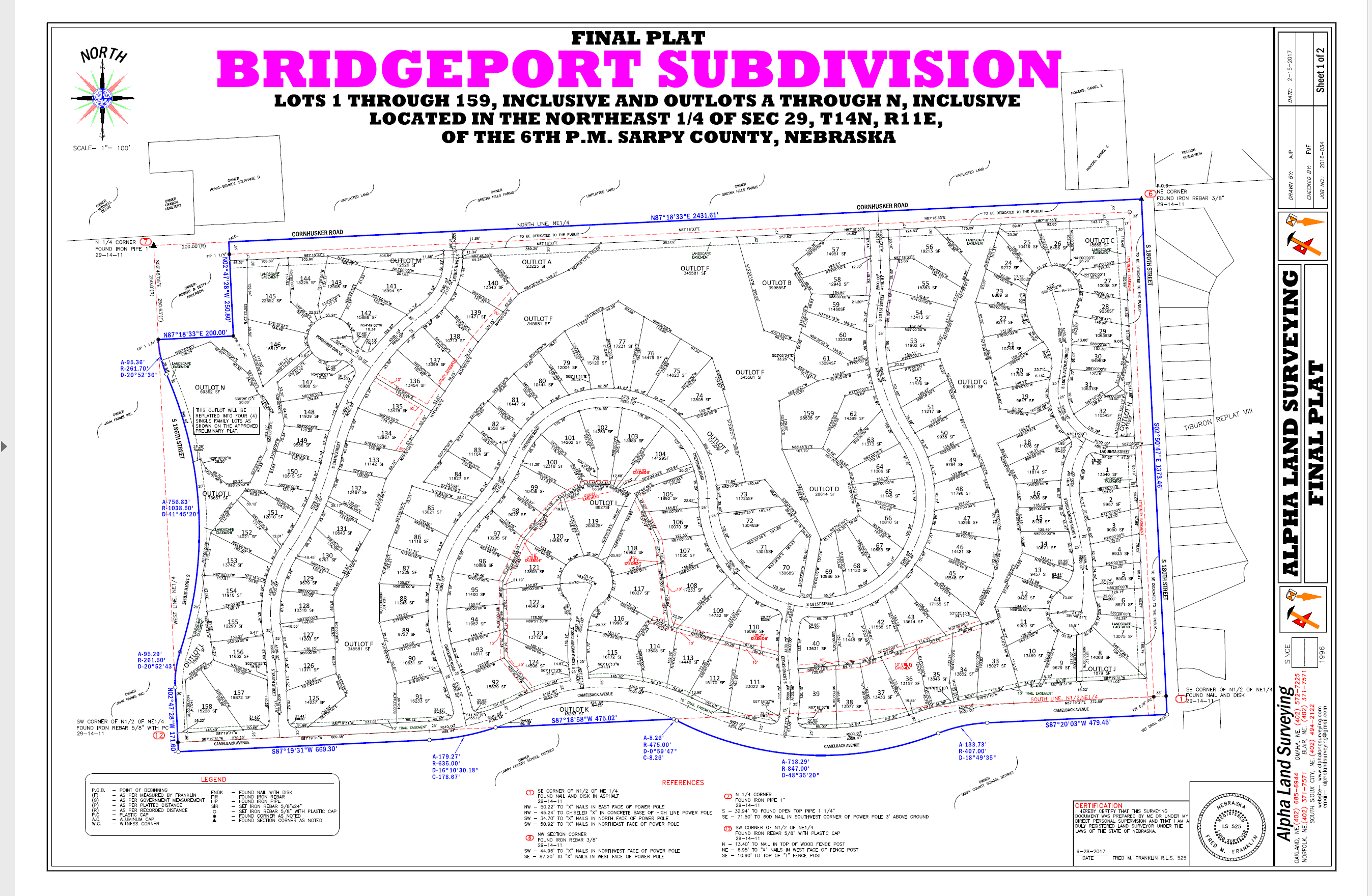
Subdivisions
A subdivision survey is used to divide a parcel of land into multiple lots for a subdivision. A subdivision survey is used to create subdivision plats and must be filed in the land records with the recorder’s office.
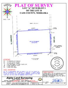
Residential/Commercial Lots
A boundary survey is used to determine the exact location of property boundaries and corners of a piece of land. A boundary survey may be used to settle legal disputes or locate easements or for personal records.
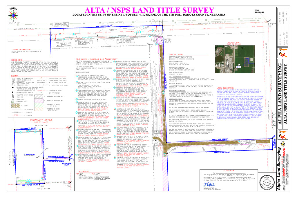
ALTA /ACSM
An ALTA (American Land Title Association) survey is done when buying a home or investment property. A title company will normally require an ALTA survey before issuing title insurance. An ALTA survey may also be referred to as a mortgage survey, since lenders often require them before providing financing.
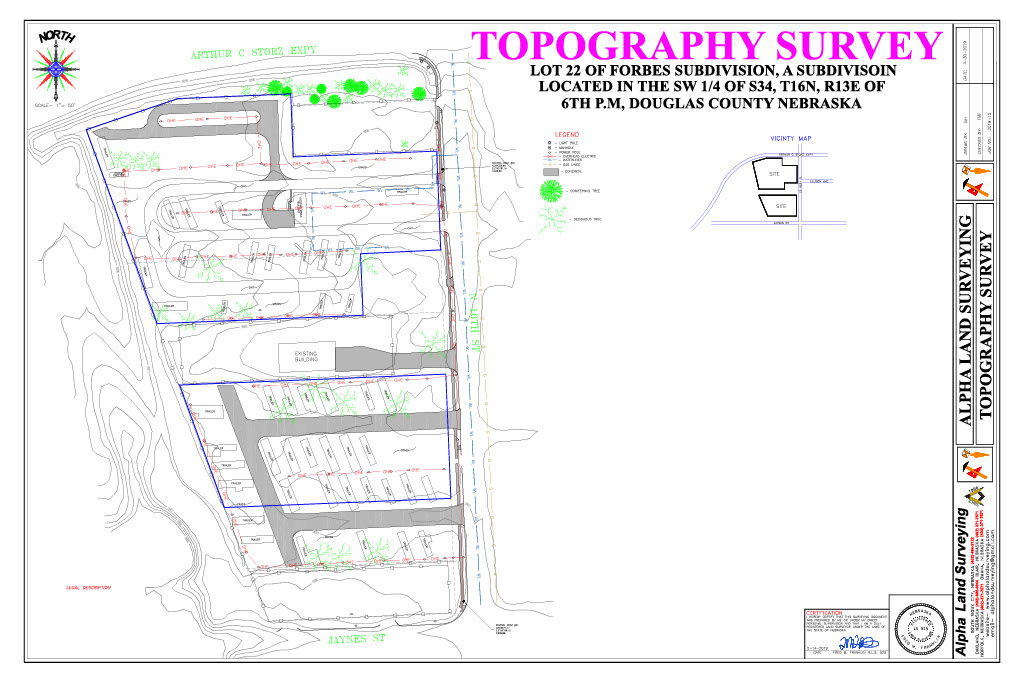
Topography
Topographical surveys lay out the location of natural and man-made features on a property. These features may include buildings, fences, utilities, ponds, rivers, trees, and elevations. A topographic survey is often used by engineers and architects for planning site improvements.
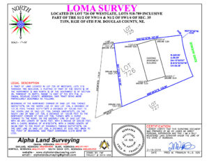
Elevation Certificates/LOMA
An elevation certificate lists a building’s location, lowest point of elevation, flood zone and other characteristics, according to the Federal Emergency Management Agency (FEMA). It is used to enforce local building ordinances and to help determine flood insurance rates.
Construction Staking
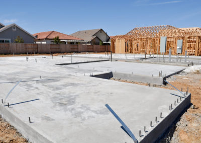
Houses, Buildings, Retail, Additions and Renovations
Whether you need a house staked, a new retail building, or a million dollar addition onto an existing building, we can handle your needs.
Latest Projects
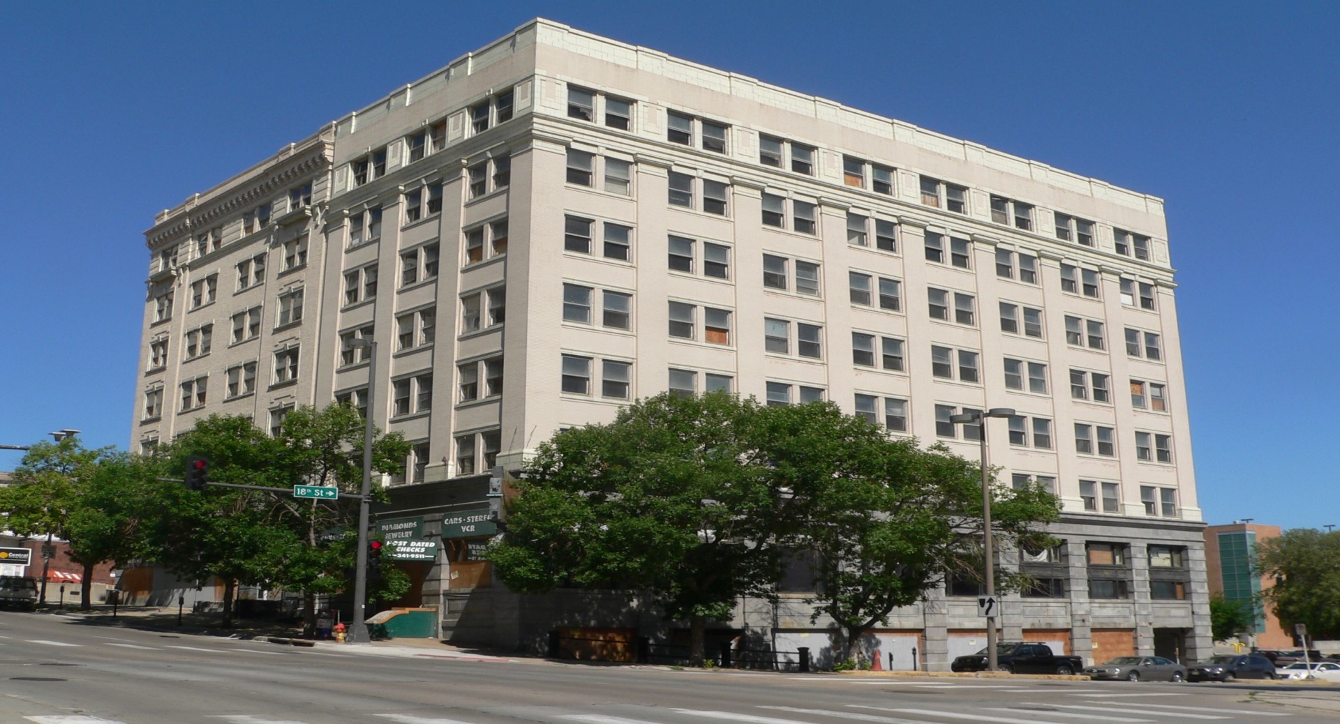
Indigo Hotel
The Logan Building in downtown Omaha is being renovated into a premier boutique hotel creating a unique getaway.
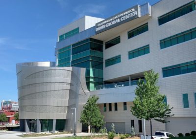
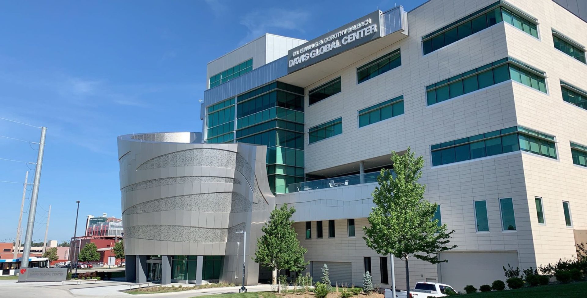
UNMC Davis Global Center
The Davis Global Center provides realistic replicated health care settings in which teams can practice and experiment safely.
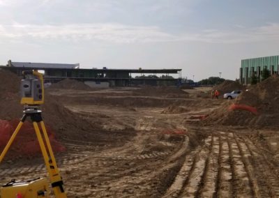
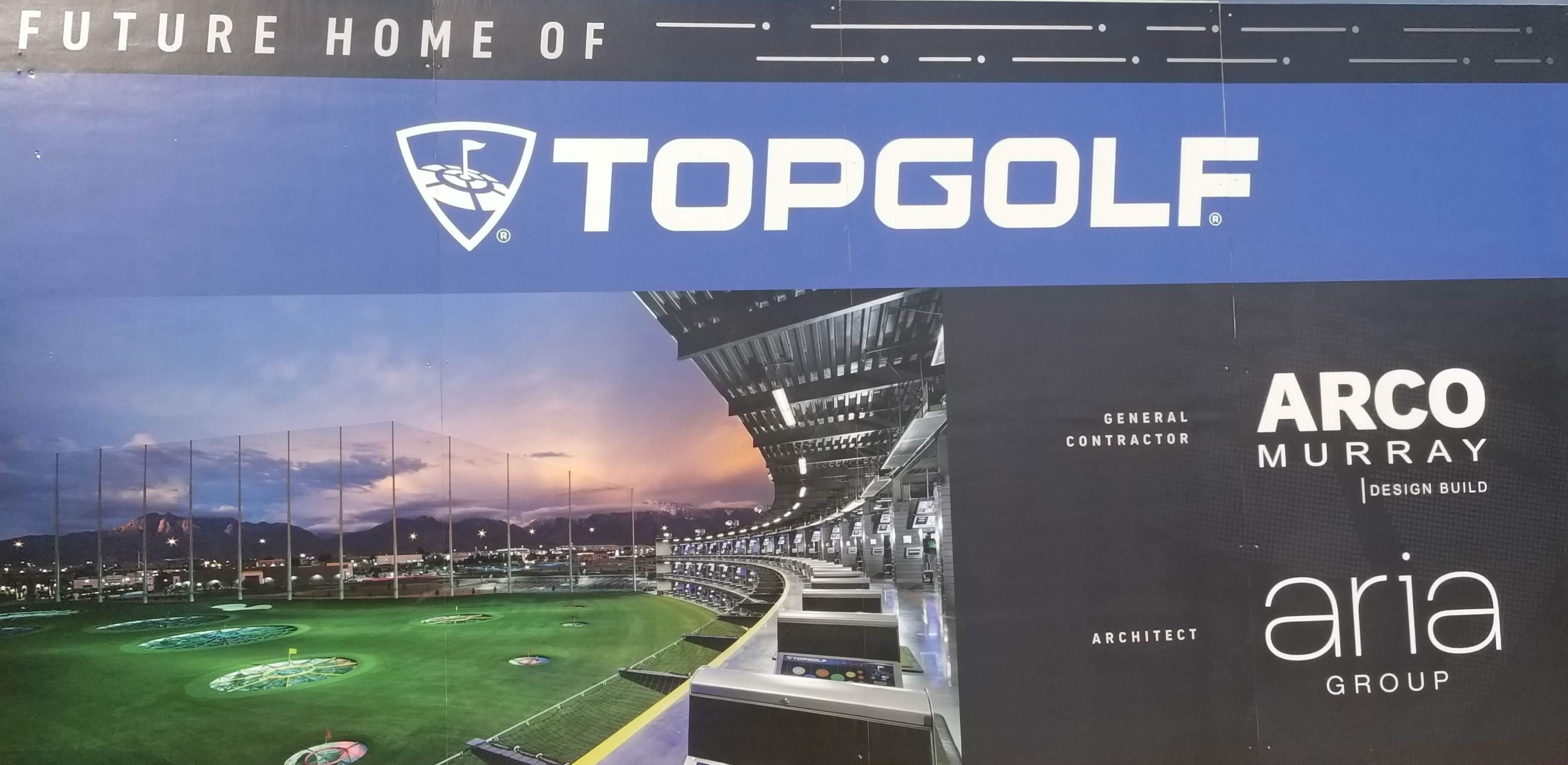
TopGolf Omaha
Nebraska’s first indoor golf entertainment center located by West Roads Mall is the perfect place for an evening out.
Nebraska Offices
Omaha (402) 572-7225
Oakland (402) 685-6944
Blair (402) 426-9414
Norfolk (402) 371-7571
South Sioux City (402) 494-2122
Tampa, FL Office
(813) 221-2144
